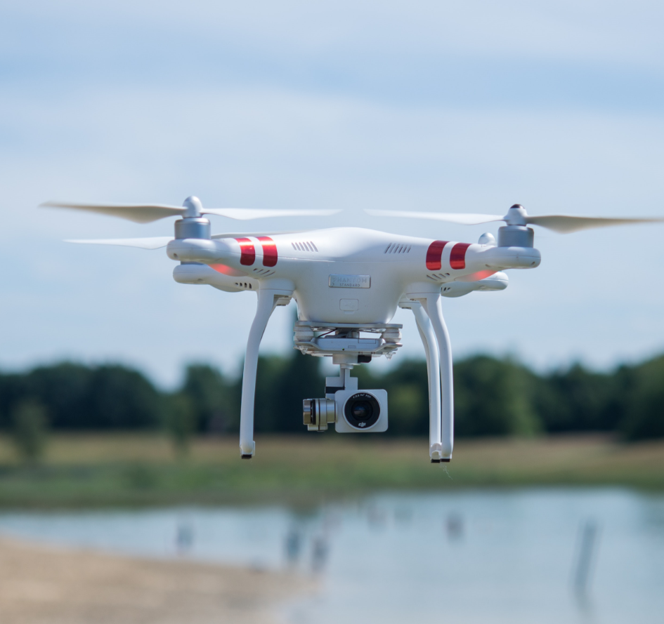
Our expert team is dedicated to providing top-notch drone services tailored to meet the unique needs of each client,.
At Shock Impact Productions Limited, our vision is to become the leading provider of drone services in West Africa,.
Explore services
Years of experience

Our drone mapping and surveying services provide highly accurate aerial data for land assessments, construction planning and environmental monitoring. We deliver detailed maps and surveys quickly and efficiently, reducing on-site time and costs.
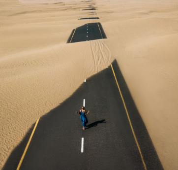
Using advance photogrammetry, we generate precise 3D models and high-resolution orthomosaic images from aerial data. This service is ideal for construction, urban planning and asset management, offering a comprehensive visual representation on your projects.

We offer drone-based infrastructure inspection and monitoring services to assess the condition of critical assets, such as bridges, power lines and towers. Our drones capture high-quality imagery in hard-to-reach areas, ensuring safety, accuracy and timely reporting.
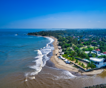
Our commercial real estate photography services utilises high-quality drone technology to capture stunning aerial images and videos of properties. We showcase your real estate assets from unique angles, highlighting key features and providing a comprehensive view that attracts potential buyers and investors.
"Excellent and professional service delivery. Highly recommended.
Construction Director, Arewa Ltd
"We have never been dissapointed with the quality of their delivery
MD Owena properties
Contact us now.